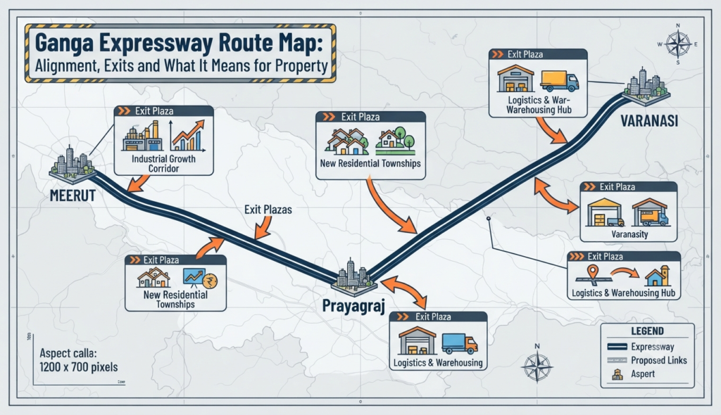
The Ganga Expressway is Uttar Pradesh’s most ambitious road project — a 594-km, six-lane corridor connecting the western part of the state to Prayagraj in the east. Understanding the Ganga Expressway route map, its exits, and the districts it crosses helps buyers and investors see exactly where new growth corridors are opening up.
This guide maps the alignment, lists the districts and interchanges, explains the current status and completion timeline, and looks at what the expressway means for property.
Ganga Expressway route map: the basics
Phase 1 of the Ganga Expressway runs from near Bijauli village in Meerut district (off NH-334) to Judapur Dandu village on the Prayagraj bypass (near NH-2). Key facts:
| Feature | Detail |
|---|---|
| Length (Phase 1) | 594 km |
| Lanes | 6 (expandable to 8) |
| Districts crossed | 12 |
| Interchanges | Around 16 major interchanges |
| Developer / model | UPEIDA; DBFOT (PPP), with IRB and Adani Enterprises as concessionaires |
| Estimated cost | Approx. Rs 40,000 crore |
| Right of way | 120 metres, with service roads for local traffic |
It is currently the longest expressway in Uttar Pradesh and one of the longest in India.
Ganga Expressway alignment and districts
The corridor passes through 12 districts, moving broadly from north-west to south-east across the state:
- Meerut
- Hapur / Amroha
- Bulandshahr
- Sambhal & Budaun
- Shahjahanpur
- Farrukhabad
- Hardoi
- Kannauj
- Unnao
- Rae Bareli
- Pratapgarh
- Prayagraj
Interchanges are positioned near these district centres and where the expressway meets major national and state highways — including NH-334, NH-24, the Agra–Lucknow Expressway, NH-27, NH-31, NH-30, and a planned link toward the Yamuna Expressway. A 3.5-km emergency airstrip near Shahjahanpur allows the Indian Air Force to land aircraft on the carriageway, a feature it shares with other UP expressways.
Ganga Expressway completion date and status
Land acquisition (about 6,556 hectares) reached 100%, and by early 2026 civil work on the main carriageway — earthwork, sub-base, and structures — was reported essentially complete, with all planned structures finished. The main Meerut–Prayagraj carriageway was inaugurated in 2026 and is opening to traffic in stages as final works, tolling, and wayside amenities are commissioned.
Because opening dates for individual stretches can shift, confirm the latest operational status on the official UPEIDA portal or reliable news before planning a long drive. Two extensions are in the pipeline:
- Meerut–Haridwar spur (around 110 km), sometimes called the Upper Ganges Canal Expressway, linking toward the Char Dham route.
- Prayagraj–Ballia extension (around 314 km) eastward via Varanasi, still at the survey/DPR stage.
Together these would push the corridor well beyond 1,000 km over the coming years.
Plots near Ganga Expressway for investment
New expressways in UP have a consistent pattern: land near interchanges appreciates first, followed by townships, warehousing, and industrial parks along the corridor. The Ganga Expressway is expected to do the same around district hubs like Meerut, Bulandshahr, Shahjahanpur, Hardoi, and the approaches to Prayagraj.
If you are evaluating plots near Ganga Expressway for investment, keep a few practical checks in mind:
- Verify land title and classification (agricultural vs non-agricultural) before buying — check records on the Bhulekh UP land portal.
- Confirm distance to the nearest interchange; connectivity, not just proximity to the expressway line, drives value.
- Check the master plan and any notified land use so you are not buying into a restricted zone.
- Prefer clear-title, approved layouts over informal plotting schemes.
For registration and record verification, our guides to IGRSUP Uttar Pradesh walk through how to check stamp duty and register property in the state.
Ganga Expressway real estate impact
The bigger story is regional. By cutting the Meerut–Prayagraj drive to roughly six to eight hours, the expressway shrinks travel time across central UP and connects agricultural belts to markets, ports (via onward links), and the Noida airport corridor in the west. That tends to lift demand for logistics parks, food processing units, and eventually residential development around growth nodes.
For homebuyers, the near-term impact is strongest at the western end, where the expressway ties into the Delhi-NCR growth engine. If your interest is in ready urban housing rather than raw land, established markets in Greater Noida and Noida offer developed infrastructure today, while corridor plots are a longer-horizon play. Before committing to any pre-launch corridor project, it is worth understanding the trade-offs between under-construction and ready-to-move options.
Frequently Asked Questions
How long is the Ganga Expressway and where does it run?
Which districts does the Ganga Expressway pass through?
When will the Ganga Expressway be fully operational?
Is it a good idea to buy plots near the Ganga Expressway?
How will the Ganga Expressway affect property prices?
This article is for general information only. Expressway alignment, opening dates, and land rules can change, so verify current figures and status on the official UPEIDA and state government portals before acting. Godrej Realty Homes is a property listings portal.